
THE 2019 KAYAK TRIP
On July 1, 2019 I took a 16 mile kayak trip from Wakulla Springs here to the house. I rode the Wakulla river south for 11 of those miles and turned east upon my arrival to the Gulf of Mexico for another 5 miles to the house. This is my story.
Unlike other stories in this section, I'm going to work in a different direction and share bits of this story beneath each picture. I must confess right up front that this wasn't much of a picture taking day for me.
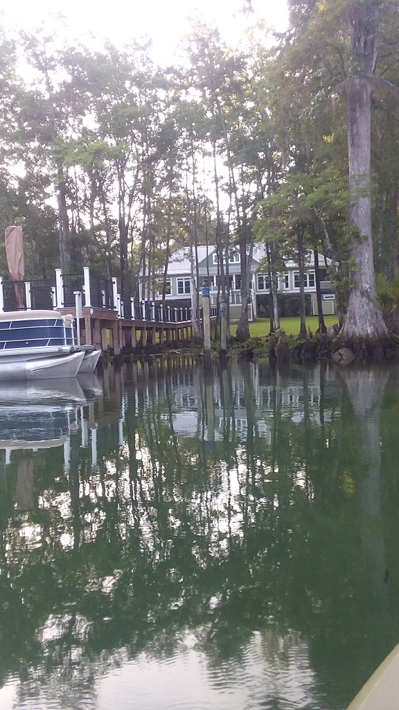
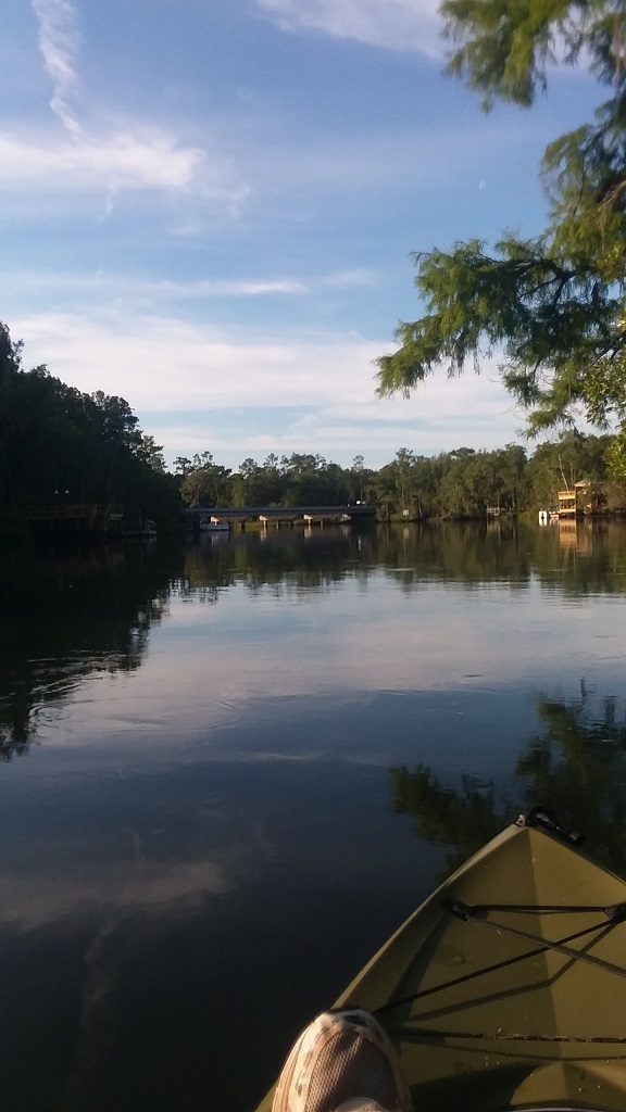
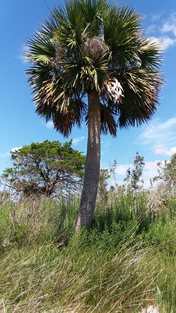
There was a myriad of challenges in that respect including keeping my cell phone dry, removing it and replacing it in the waterproof case, and trying to see the image on the phone screen on a bright and sunny day. And, to my surprise, there just weren't that many new and unusual things to see on the trip. It was mostly water, skyline, and shoreline. Still, there were some pretty wild and crazy moments to tell about, so let's do this!
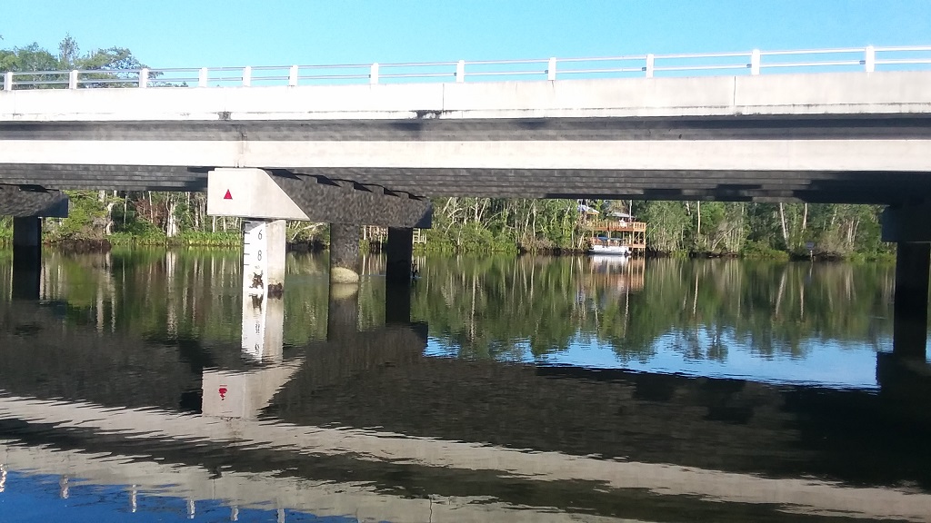
The adventure began the evening before the trip with the time and effort it took to secure the kayak on top of our Cadillac CTS (a relatively small car!) My dear, sweet wife then got up very early with me on Monday morning July 1 and drove me to the bridge that crosses the Wakulla River immediately below the fence that stands as a secured perimeter for the Wakulla Springs property.
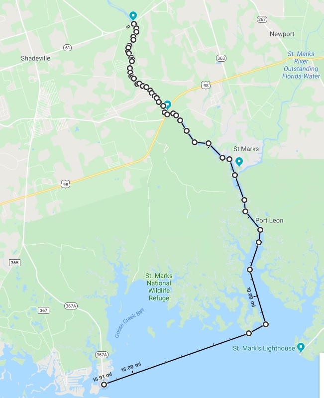
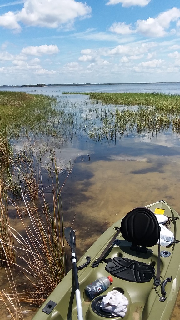
At 7:10 AM I launched the kayak to start my 16 mile journey and minutes later I was taking the picture above. It was a quiet, still morning and the water from Wakulla Springs and a falling tide were working well together to move me along rather quickly.
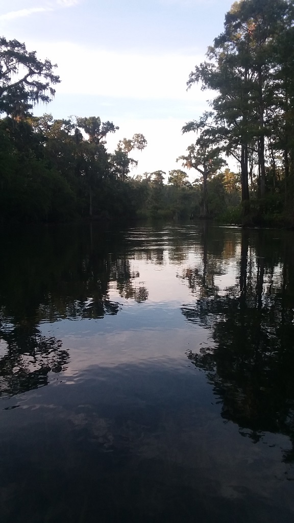
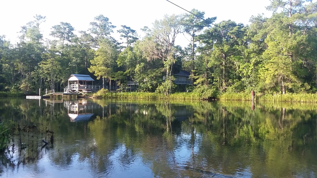
Due to my lack of familiarity with that area, I was pretty surprised at the number of homes and docks along the river. There were a few humble dwellings and a number of very nice places to see along the way.
I was surprised at how many homes I could not see from the river. Often, the only thing there was to see was a dock, a pier, and a boardwalk into the woods leading to what I can only imagine was a home.
In one particular location I observed some heavy equipment that had been apparently floated down the river on a barge to perform some type of construction work. I'm guessing they were working on a pier or a dock but I couldn't really tell.
The sun was rising on the left side of the river, so I made a conscious choice to stay toward that side to take advantage of the shade from the tree line. I would later discover that paddling closer to either shore was not a good decision. I'll talk about that in a moment.
There's a kayak rental shop where Highway 98 crosses the Wakulla River. I called that shop several days ahead of my trip to find out anything I could about what I would be up against on the trip.
One of the things I was told was that it would probably take me two hours to reach their location there on Highway 98 from my launch point. However, as it turns out, I was approaching the bridge a few minutes after 8:00 AM and had apparently made it in just under an hour.
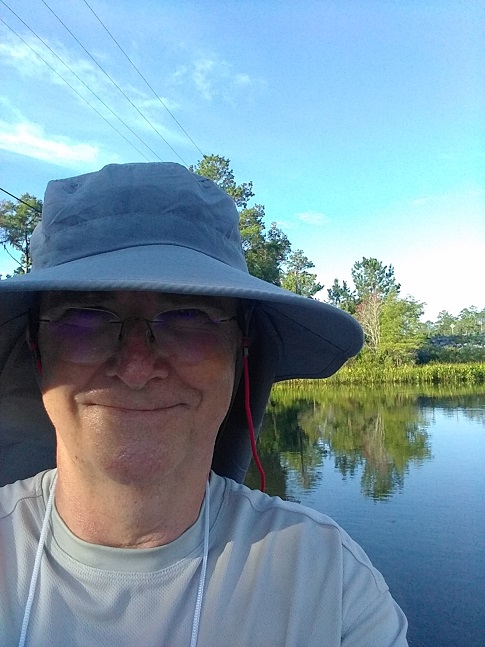
I figured this was a good sign so I pulled over to the side at the rental shop and boat launch and took a moment for some gatorade and a selfie. The hat's not much to write home about, but it sure works well with the UV resistant long pants and long sleeve shirt to avoid the sun. Unfortunately, it didn't occur to me to wear socks and my ankles were very exposed so I took one of the towels I brought along to lay over that area.
After a brief stretch, I capped the gatorade bottle and made my way back into the kayak and into the Wakulla river. There was still some shade to be found along the east side of the river so I made it a point to stay toward that side of the river.
As I mentioned earlier, this did not turn out to be one of my better decisions on the trip. I'm still not sure if manatees stay closer to the shoreline or perhaps were just doing what I was doing and enjoying the shade, but I wound up paddling the kayak right above one that must have been only inches from the surface.
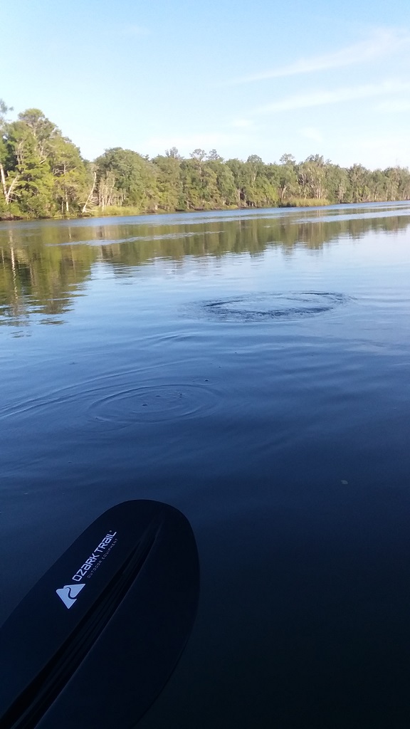
See that circle in the water in the picture above? Well, I've been on enough Wakulla Springs Jungle Boat cruises to know that such a sight is evidence of a manatee below the water's surface. Unfortunately, I was not aware that such warnings are not always present.
What happened next took me completely by surprise. I must have brushed the back of the manatee I passed over because before I knew what hit me I was riding a bucking bronco, in a kayak, with mud and water splashing everywhere! The whole thing probably only lasted 5 to 10 seconds but when the calm returned, I was drenched with mud and water and my kayak was completely full of both!
I knew the scuppers would ultimately remove the water from the kayak so I did the best I could to scoop out the mud and wash it off of me. Too bad I didn't have a GoPro video camera strapped to my hat for that event! Oh, and so much for the cheese crackers I brought along for lunch. They didn't survive the storm. Fortunately, the two large gatorade bottles were still onboard and just fine! In retrospect, I'm still amazed I wasn't thrown out of the kayak.
As I grabbed the paddle and tried to get moving again I noticed a gator a bit closer to the shore. I'm pretty sure he was laughing. I was thinking that I might be the only one who has ever taken a ride on a manatee. That is until it happened again not much farther down the river. So much for paddling along the shoreline. I decided to move more toward the center of the river.
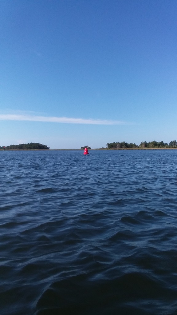
I paddled a good bit farther looking for evidence of St. Marks. However, spotting that buoy in the distance led me to believe I had somehow missed St. Marks entirely. Could it be that I had taken a wrong turn somewhere?
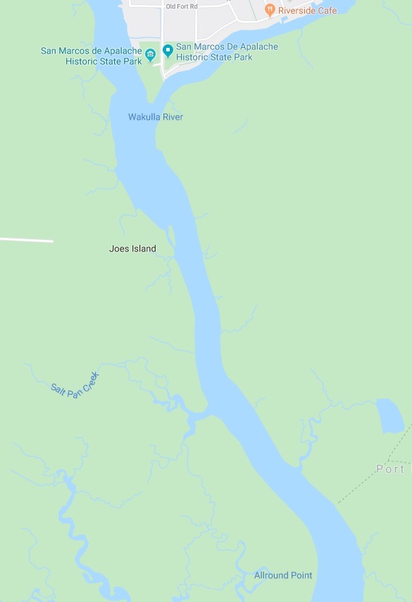
A quick check with Google Maps on my phone indicated that I had indeed missed St. Marks, but was still going the right way. I had been under the mistaken impression that I would pass the shops and see evidence of the town on my journey including the State Park and the Riverside Cafe.
However, St. Marks actually sits on the St. Marks River (imagine that!) which forks into the Wakulla River where I was traveling and as can be seen on the map above. Apparently, my path had taken me around the back side of St. Marks, or should I say the blind side?
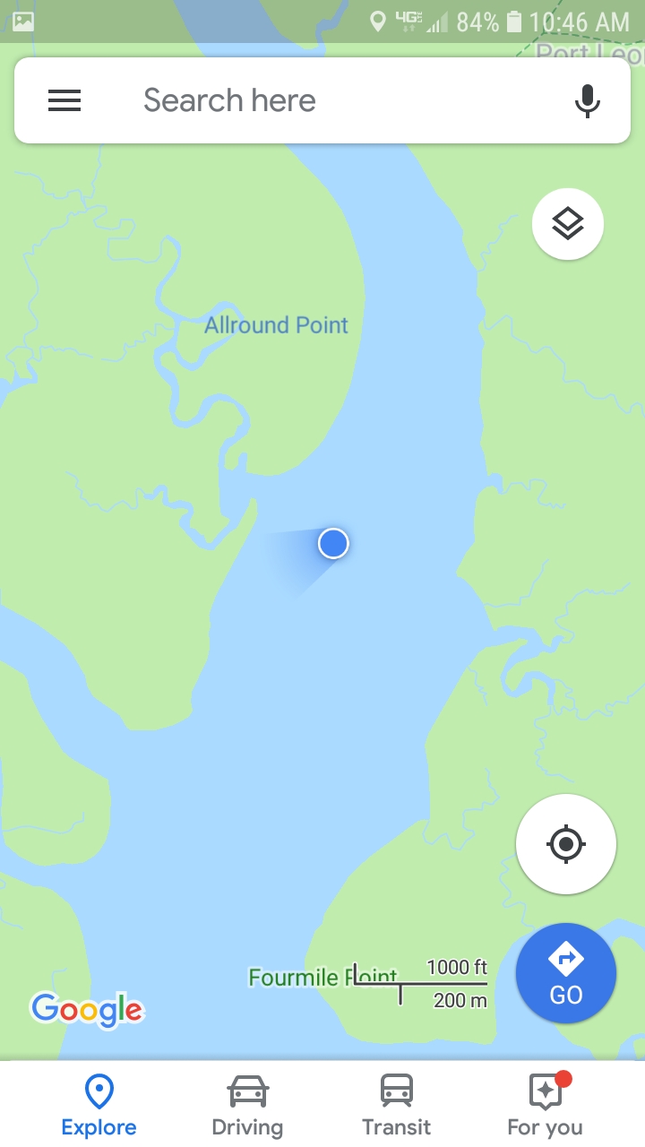
Based on the distance and the estimates I had been given I was anticipating an arrival in St. Marks around noon. However, Google Maps was indicating that I was well past St. Marks, Joe's Island, and even Allround Point, and it was only 10:46 AM. I had intended to take my second break in St. Marks but that was no longer a realistic option, and so I paddled farther.
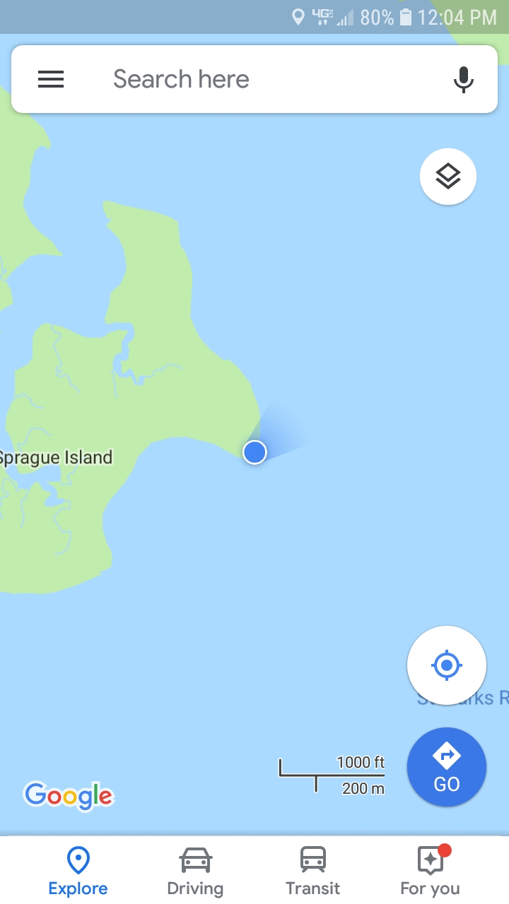
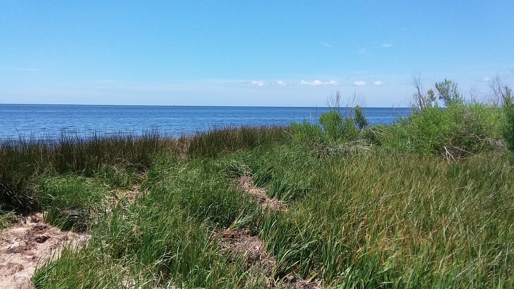
By 12:04 PM I arrived at Sprague Island and the Gulf of Mexico. Once past Sprague Island, I would make my turn to the west and travel 5 more miles to reach home. I decided this might be my best chance for one last break and paddled over to the east corner of the island and stepped out of the kayak.
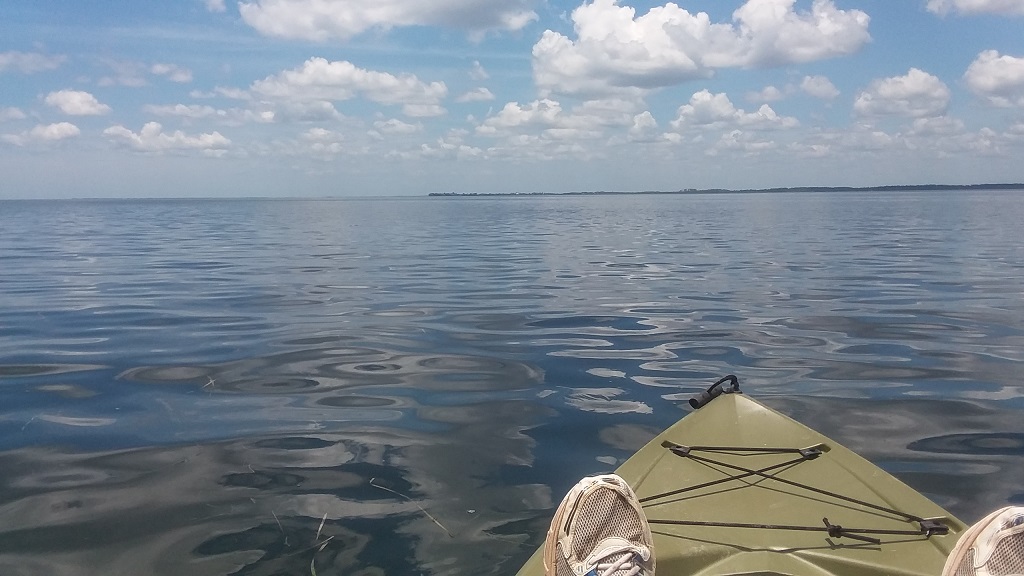
You can see (above) the channel in which I paddled to arrive at the island. I also snapped a couple of pictures (below) of the island, and the view from the island, while I was there.
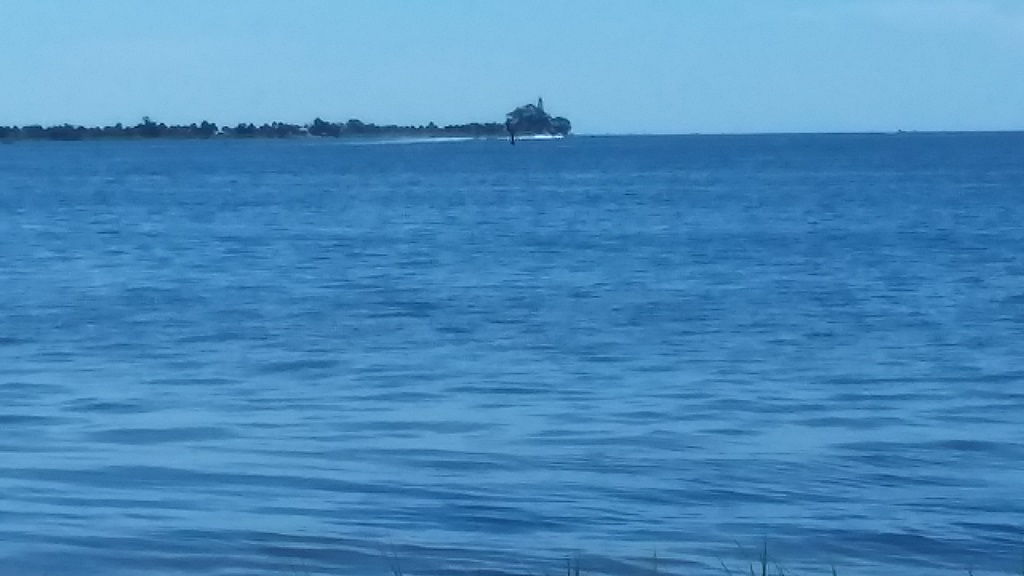
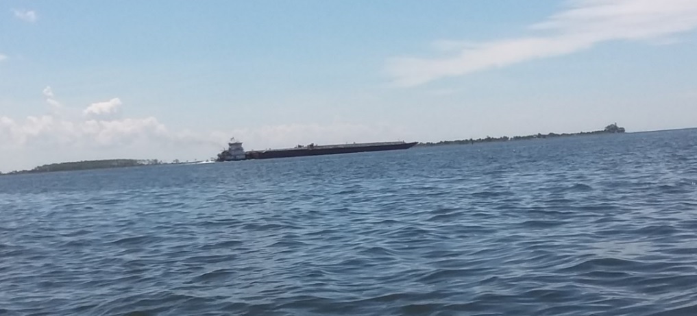
By 12:30 PM I was pulling out toward the channel (above) and could see the St. Marks lighthouse in the distance on the far right side. I also learned that the vessels I had seen from the house were not cargo ships as I had originally thought, but rather tugs that were pushing a barge. That explains a lot considering the expense of a cargo ship and the deep water requirements that we could not possibly meet around here.
I took this photo (above) at 1:16 PM and it was the last one I took for the day. But, little did I know that the greatest challenges on my journey were still ahead of me! The left end of that land mass in the picture is home but it's still 5 miles away!
Shortly after I departed Sprague Island, the strap on my seat back broke. I did everything I could to repair it but to no avail. To make matters worse, the thing I had been most concerned about did indeed occur. Storm clouds began to appear and with them a strong head wind developed. I was paddling harder than before and making very little progress.
By 2:00 PM the pain of having to sit up without a seatback was beginning to take its toll and the head winds and threat of storms only worsened. My wife later told me that at this point in the day, she went out onto the deck to see if she could see me. But, I was no where to be found on the horizon. Truth is I was still quite a distance away at that time.
The wind was pushing me back toward Sprague Island and also to the north toward the uninhabited marsh land there on the coast. I didn't have any really good options for dealing with the situation except to press on, so I laid flat on the kayak, propped my head up on a full (and large) gatorade bottle so that I could see ahead, and dug in for a lot of paddling!
To say that I was completely exhausted would be an understatement. And with several miles still to go there was nothing to do but paddle. The threat of storms subsided but the head winds remained. I got to the point where I would count 20 strokes of paddling and then I would count to 5 as a means of rest before repeating the entire process again, and again, and again...
It occurred to me that I could get up in a kneeling position and make better time. But, (and I hate to admit this!) I had not brought along a life vest. I was so used to paddling in shallow water where I live that it had not occurred to me that I might even need one - let alone that I was breaking a law by not having one onboard! Apparently, I was supposed to have a horn or whistle too and had neither of those.
The idea of shifting to a kneeling position was just too risky for multiple reasons. First of all, I was so fatigued I didn't know if I could get in position or remain in position. Even more troubling was the idea that I might fall out of the kayak only to have the wind blow it out of reach. Fatigue, without a life vest, and so far from the shore, would have been a life threatening combination - especially when considering that the straight line from Sprague Island to home had carried me out over deeper water.
I had anticipated the possiblility of headwinds on the last leg of my journey, and to be honest it had kept me awake for a while the night before the trip. What I had not anticpated was the possibility of strong north winds, which would have worked to push me farther out to sea on my trip home. Yet another life threatening situation and one that still haunts me! How could something that seemed so simple present so many unanticipated risks?
Around 5:00 PM I made my last kayak strokes and glided into marsh grass. I just laid there completely spent. Due to the strong south winds on the last mile of my trip, I was a good half mile north of the house and needed to paddle into that head wind to get home. There was no way I was up to it.
And so I got out and walked along the edge of the marsh for that half mile while dragging the kayak behind me. Large blue crabs raced to get away from me and under any other circumstances that would have scared me. However, in this situation I was a man on a mission and completely willing to sacrifice a toe or even a foot in order to get home.
One other thing! There were a few small channels that I had to cross and that were too deep to walk across. And so, I made my best effort to stretch out on my stomach in the kayak and dog paddle across them. I hope nobody was watching!
By 5:30 PM I arrived home to a low tide. I cleaned up the kayak and put it and my gear away. I hit a quick shower and my kind and loving wife (sensing my pain) tucked me in and I slept through the night.
Copyright © 2024 Hutch DeLoach